About Us.
We are an Experienced Geomatics Consulting Services Company with successful Global Experience.
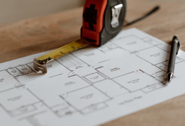
We provide Integrated Engineering Design, Survey and Data management services to Engineering, Built infrastructure and environmental sector.
People are our greatest Assets. Our Team has rich expertise in Domain & Infrastructure Design Consultancy.
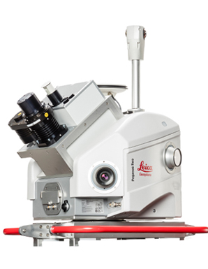
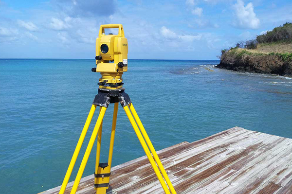
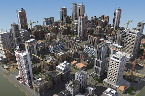
Our Differentiation is our ability to amalgamate various kinds of Technology be it Mobile LiDAR, Aerial LiDAR, UAV,
Photogrammetry along with Traditional Survey Grade equipment with our “Proven Geomatics Execution Framework”
Our Single Goal is to provide the highest quality deliverable for our customers in the area of Engineering & Geospatial.
Strong Technology Partnerships with various established quality providers to ensure that the best technical support,
latest technology and adequate resources are built in to the services.

Partnering with our Customers, aligning with their Goals & helping them Deliver Quality of our work & repeat Business from our Customers defines our success. Integrity & Corporate Governance can never be compromised Innovation for acceleration is an integral part of Execution. Associating with the finest Talent is an integral part of our Business Strategy.

Designing the Future, Today Simplifying Engineering For Engineers
We are committed to Quality

Our journey begins in 1999 as
“Global Surveys” start up company

Our next leap was in 2014 from Global Surveys to
“Sai Sakthi Global Infra Survey Pvt. Ltd”

Hard work never fails. SSGIS has raised as an established
company and serves many renowned departments

Why SSGIS.
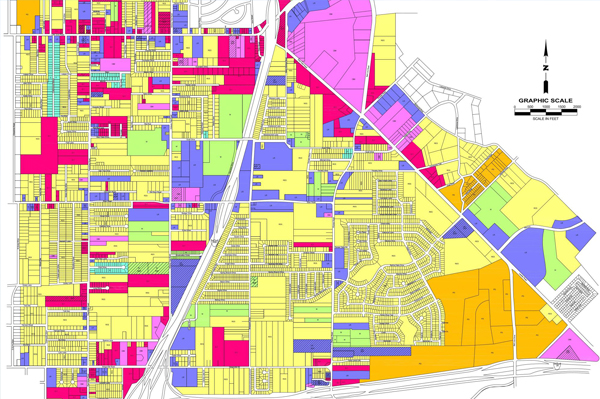
Geographic Information Systems/Remote Sensing
Photogrammetry
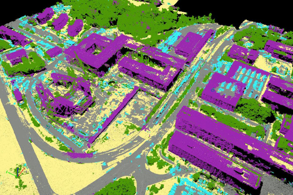
Lidar