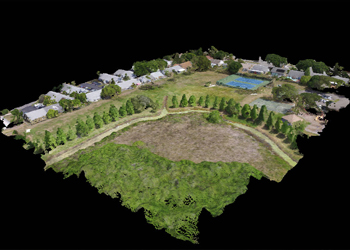
Photogrammetry involves various stages of data processing, in which Aerial Triangulation is the very first process done on the raw data. Aerial Triangulation is the process of assigning the ground control points (GCP) to the aerial photographs thereby orienting and aligning the photographs to the exact global coordinate system. Aerial Triangulation is also done to correct the exterior orientation parameters. Given the orientation parameters, GPS points and flight details, our team will prepare AT and block adjust the imagery. The process of aerial triangulation includes,
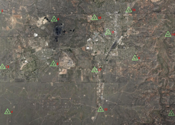
Establishing Ground Control points
Interior Orientation
Tie Points measurement and transfer
Control point establishment on photographs
Block Adjustment
Establishing Ground Control points
Interior Orientation
Tie Points measurement and transfer
Control point establishment on photographs
Block Adjustment