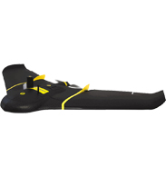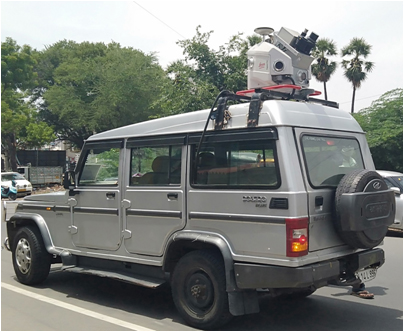
Mobile LiDAR is a recent technology growth in the geomatics industry.
With the help of GPS, IMU and other supporting units, it has become possible to survey on the go attaining the highest accuracy needed. This indeed saves manpower and ample amount of time of the project,
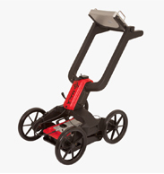
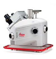
thus giving a good return on investment in every project. SSGIS specializes in surveying using MLS (Mobile LiDAR Scanner). MLS Survey is adopted by NHAI, MORTH and many prestigious government departments to survey their roads for generating, topographic maps,
contours and cross-sections and thus preparing detailed project reports (DPR)/ feasibility study (FS) reports.
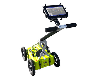
The major areas of applications are,
Detailed Feasibly Survey for Road and Rail Asset
Asset Mapping and Detailed design
Smart city mapping
As-built mapping
Safety Audit
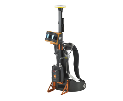
The major areas of applications are,
Detailed Feasibly Survey for Road and Rail Asset
Asset Mapping and Detailed design
Smart city mapping
As-built mapping
Safety Audit