Application.

Smart City.
Smart City Planning
Solid Waste Management
Asset Management System
Disaster Management
Utilities Monitoring system
Traffic management
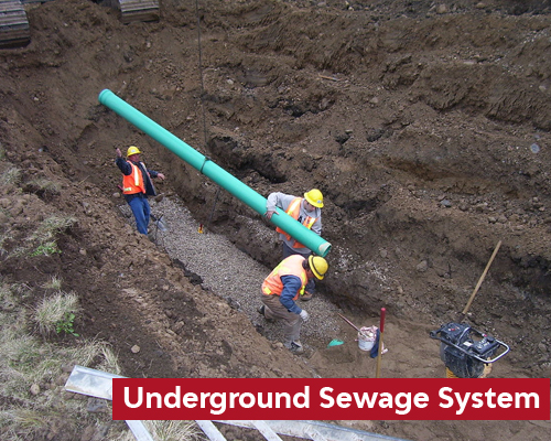
Underground Sewage System (Ugs).
Topographical Survey
Route Alignment
Survey Contour
Longitudinal Section
Tree Map
Spot Level
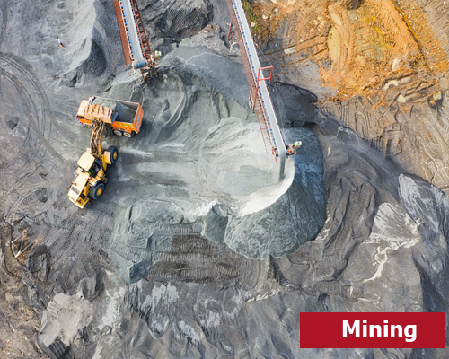
Mining.
Site Monitoring
Potential Mineral zone mapping
Land records mapping
Mining boundary demarcation
Stockpile calculation

Roads.
Mobile LiDAR survey
Detailed Project Report (DPR)
Road Asset Management System (RAMS)
Road network mapping
Topography mapping
Terrain Modelling
Construction monitoring

Railways.
Topography mapping
Terrain Modelling
Railway network mapping
Aerial Survey for monitoring
Railway asset inspection
Corridor mapping

Forest.
Forest canopy mapping
Forest area mapping
Change detection
Tree count calculation
Encroachment Analysis

Buildings.
2D plan drawing
Terrestrial 3D Scanning
Site suitability/Feasibility analysis
3D modelling
BIM and MEP