About Us.
We are an Experienced Geomatics Consulting Services Company with successful Global Experience.
We provide Integrated Engineering Design, Survey and Data management services to Engineering, Built infrastructure and Environmental sector.


Why Us?.
People are our greatest Assets. Our Team has rich expertise in Domain & Infrastructure Design Consultancy.
Our Differentiation is our ability to amalgamate various kinds of Technology be it Mobile LiDAR, Aerial LiDAR, UAV, Photogrammetry along with Survey Technologies Traditional
- Survey
- Geographic Information Systems/Remote Sensing
- Photogrammetry
- Lidar
- Application
Since
1999
1999

Our Services.
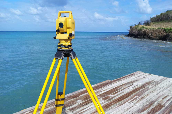
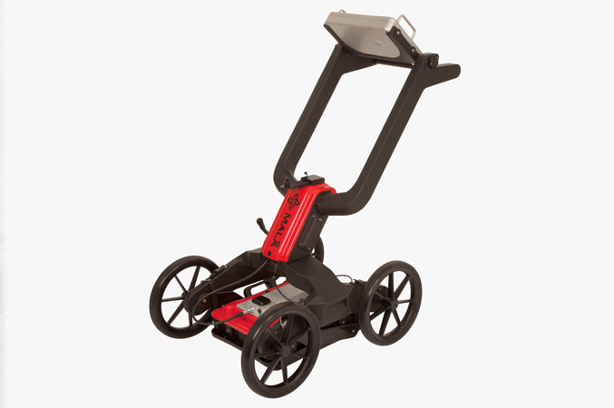
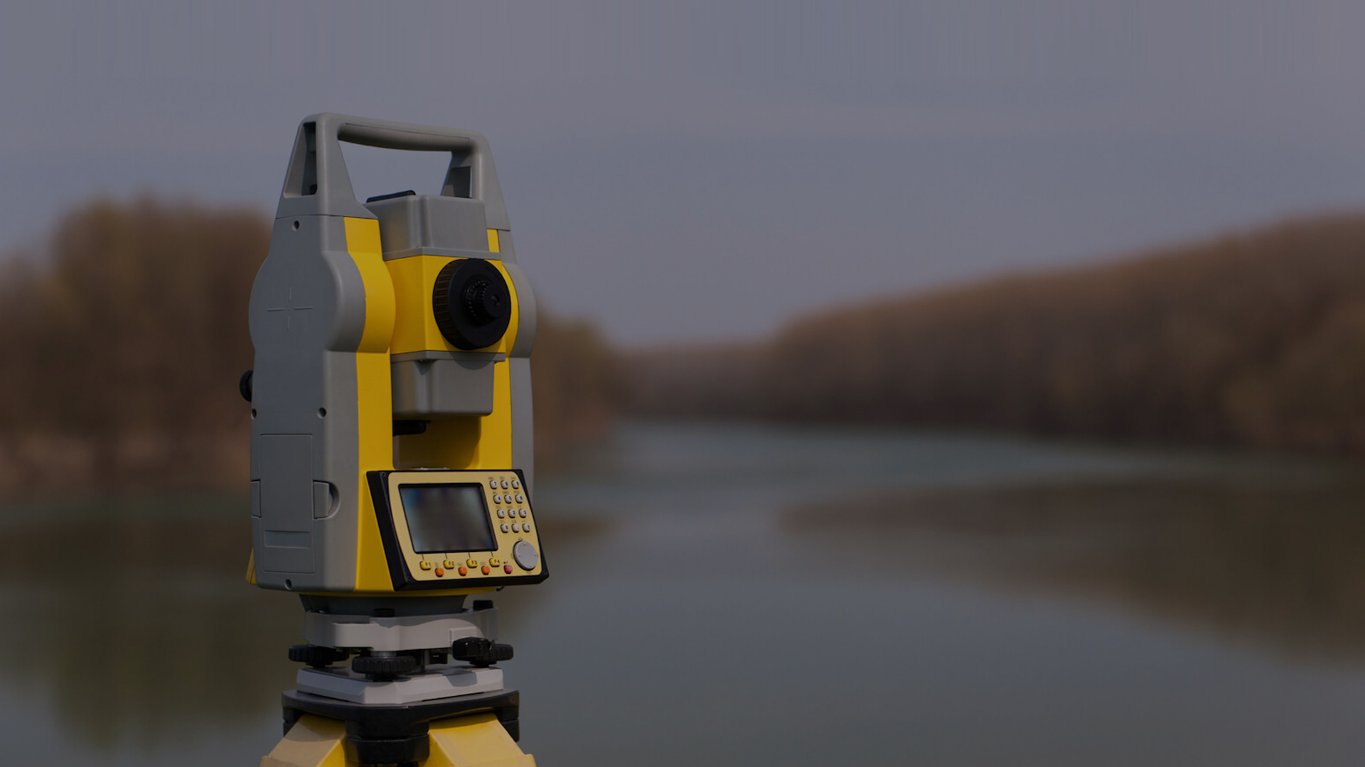
Surveying Services
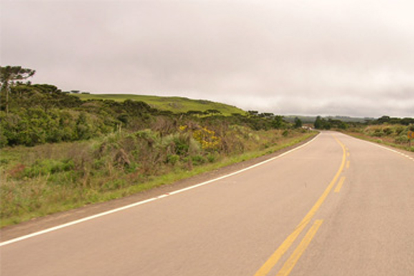
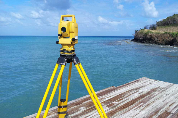
Surveying is the major data acquisition technique used to acquire Geospatial information. There have been various techniques of surveying being followed by Geomatics technicians around the world for data collection.
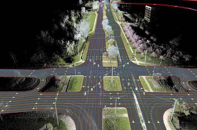
Mobile LiDAR Survey
Mobile LiDAR is a recent technology growth in the geomatics industry. With the help of GPS, IMU and other supporting units, it has become possible to survey on the go attaining the highest accuracy needed.
UAV Survey
Unmanned Aerial Vehicle (UAV) such as drones will be used to carryout Aerial survey of the terrain. The survey team will prepare the right flight plan and number of ground control points as per the accuracy requirements of the client.
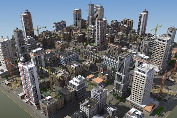
work showcase.


Our clients.

Associating with the finest Talent is an integral part of our Business Strategy.
Why SSGIS.
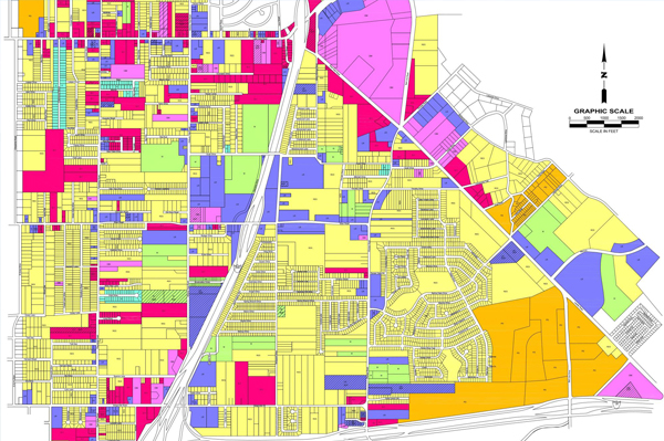
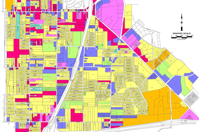
Geographic Information Systems/Remote Sensing
In the world of smart cities and developing infrastructures, data plays a very important role.
Photogrammetry
Photogrammetry involves various stages of data processing, in which Aerial Triangulation is the very first process done.
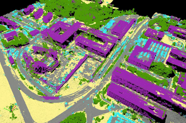
Lidar
LiDAR survey is a technology that uses laser pulse to hit the target and estimates the distance by calculating the time.